Runway Guesser: Can You Identify Airports From Above?
I've always been curious about how frequent flyers see the world. As I started flying more, I noticed I was doing something weird during descent — staring out the window trying to recognize the airport from the pattern of runways below. Two parallel strips? Could be Atlanta. A triangle of intersecting runways? Must be O'Hare. That distinctive cross-shaped layout on reclaimed land? Has to be Haneda.
It turns out I wasn't the only one.
The spark
On social media, I kept seeing people post subway system outlines — stripped of all labels, just the bare geometry of the lines — and challenge others to identify the city. I loved how something so abstract could be instantly recognizable to anyone who'd spent enough time with it.
Then I started noticing hand-drawn airport runway challenges on Reddit. People were sketching runway layouts from memory and asking "which airport is this?" — and other people were actually getting them right. Some of these posts had hundreds of comments of people debating whether a certain angle meant LAX or SFO.
I knew I had to build a proper version of this. I'd already been working on the idea before those Reddit posts appeared, but seeing people create hand-drawn versions on paper confirmed there was a real appetite for this kind of spatial puzzle.
How it works
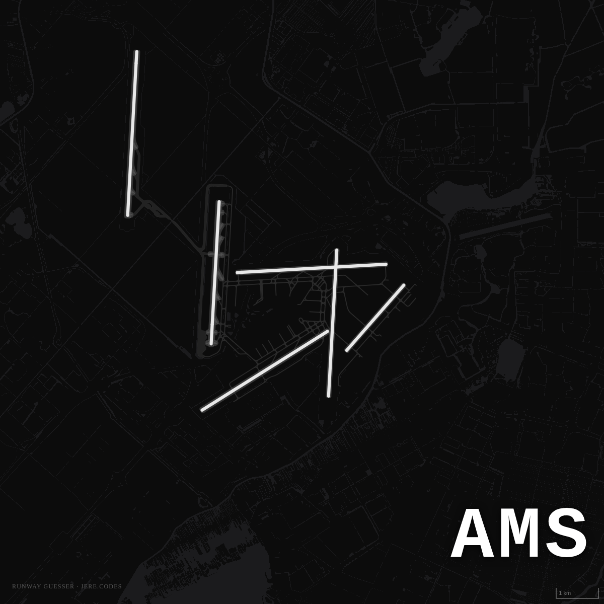
Runway Guesser shows you a dark aerial view of an airport — just the runways, rendered as white lines on a black background. No labels, no terminal names, no airline logos. Just geometry.
You get four options and need to pick the right airport. There are a few tools to help:
- Reveal layers: Start with just runways, then progressively reveal taxiways and building footprints for more context
- Hints: Each airport has a contextual hint, but using it costs 25 points
- Speed bonus: Answer quickly for extra points
- Difficulty bonus: Harder airports are worth more (150 points for hard vs 100 for easy)
The game runs 10 rounds with a balanced mix of difficulties — 4 easy, 3 medium, 3 hard — drawn from a pool of 200 international airports.
Daily challenge
Like Wordle, there's a daily challenge that's the same for everyone. It uses a seeded random number generator based on the date, so you can compare scores with friends. The game tracks your streak — how many consecutive days you've played.
What makes airports recognizable?
Building this game taught me a lot about what makes an airport distinctive from above:
Runway count and arrangement is the biggest tell. Denver's six runways form a pinwheel. Amsterdam Schiphol's six runways sprawl in every direction. Most airports have 2–4 parallel runways, but the spacing and angles vary enormously.
Geography gives massive clues. Runways built on reclaimed land (Kansai, Hong Kong, Incheon) have that distinctive water-surrounded look. Desert airports sit in pure black. Coastal airports have their runways right up against the waterline.
Scale matters too. When you see a massive spread of runways covering what looks like a small country, it's probably DFW, DEN, or CDG. A compact pair of runways? Could be dozens of airports.
The tech
The game is built with:
- Next.js and React for the UI
- MapLibre GL via react-map-gl for the map rendering
- OpenFreeMap tiles as the vector tile source
- A custom dark map style that strips everything except runways, taxiways, and buildings
- A seeded PRNG (Mulberry32) for deterministic daily challenges
The map style is the key ingredient. It's essentially a "Dark Matter" basemap with everything removed except aeroway and building layers. The result is a stark, almost abstract view that turns airports into geometric puzzles.
Browse the gallery
If you want to study up — or just appreciate the beauty of runway layouts — check out the Runway Gallery. All 200 airports, filterable by difficulty, searchable by city or country.
Some of my favorites to look at:


Play it
Give it a try: Runway Guesser
It's free, works on mobile and desktop, and supports keyboard shortcuts for speed runs. Share your score with the built-in share button — your results come out as a row of colored dots, Wordle-style.
I'd love to hear how you do. Are you a Tourist or an Expert? Find me on Twitter/X and share your score.